
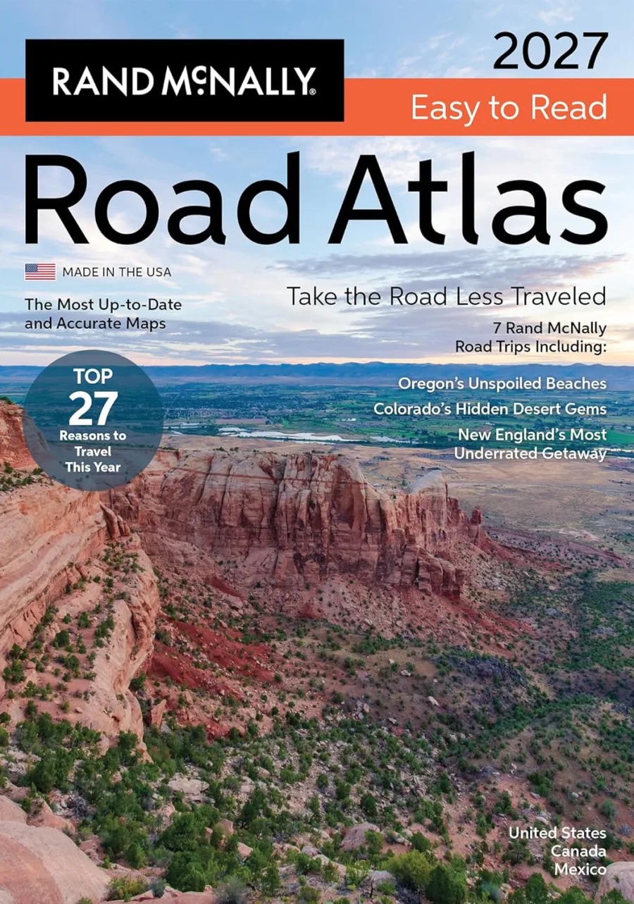
Rand McNally 2027 Easy to Read Midsize Road Atlas
Spiral-Bound
• 184 Pages
• USD 19.99
• English
• 9780528029516
No ratings yet
| Publisher | Rand McNally |
|---|---|
| ISBN13 | 9780528029516 |
| ASIN/SKU | 0528029517 |
| Book Format | Spiral-Bound |
| Language | English |
| Pages | 184 |
| List Price | USD 19.99 |
| Publishing Date | 13/04/2026 |
| Dimensions | 7.8 x 0.5 x 10.6 inches |
| Weight | 12.8 ounces |
| Book Code | BD00054667 |
Buy this Book
Amazon Stores
Ebook Stores
Other Stores
Discover Rand McNally 2027 Easy to Read Midsize Road Atlas by Rand McNally. This book is published by Rand McNally in Spiral-Bound format, ISBN 9780528029516, ASIN 0528029517, under Travel, Transportation, Reference.
Book Description
Rand McNally 2027 Easy-to-Read Midsize Road Atlas
The only atlas that is updated annually!
If having the most up to date and accurate maps developed by the #1 map company are important to you, then Rand McNally is your only choice. We have a 150+ year history of providing not just road and route guidance, but detailed information about the states, points of interest, historic sites, and much more. Plus, this updated edition is packed with fresh reasons to pack the car and go this year!
27 Reasons to Hit the Road: Navigating America's Biggest Year Yet
Between the FIFA World Cup turning cities into international festivals and America250 turning our historic corridors into living museums, the roads will be humming with energy in 2026. For the road-tripper, this means our national arteries--such as the legendary Route 66, which turns 100 this year--will be the front row to a yearlong celebration. Whether you are chasing the roar of a stadium or the quiet dignity of a new presidential library in the Badlands, we'll share all the reasons why this is the year to plan your all-American road trip.
Secret Escapes: 7 Stunning Detours for a Smarter Road Trip
Experience the joy of the "road trip dupe"--trading the tourist track for a pace that lets you slow down. Instead of the chaos of major hubs, discover the wild reaches of West Virginia, western Colorado or the hidden side of the Alabama Gulf Coast. By leaning into these off-peak windows, you trade long lines for serene vistas and soul-stirring beauty that feels entirely your own.
The Journey Continues
Ready to hit the road? Scan the included QR codes on our seven road trip itineraries for more hidden gems, expert travel hacks and the perfect soundtrack for your trip.
Why Choose Rand McNally Over the Competition?
Always Up-to-Date
Updated annually - unlike competitors who update only 2-3 years or more.
Larger, More Readable Maps
State maps are up to 150% larger for easier navigation and planning.
64% More Pages
184 pages vs. just 112 pages - offering more map detail, more destinations, and more travel insight.
Brand-New Editorial Content
30 pages of our editors' pics for best travel experiences updated annually - not a rerun of past content.
Convenient Size
Portable 8x11 format fits easily in a backpack, glove compartment, or travel bag.
Tough Spiral Binding and UV Coated Cover
Spiral binding allows pages to lay flat, and UV coating adds durability.
Expertly Crafted Maps
Created by our in-house cartographic team in Chicago vs. outsourced by competitors.
Easier on the Eyes
Clean white backgrounds and vibrant, user-friendly color palette vs. darker, less readable designs.
Travel Planning Information
Tourism, construction, and toll info for each U.S. state and Canadian province
QR Codes for Each Trip and on Each State Map Page
Provides info on additional hidden gems, expert travel tips, and tourism information.
The only atlas that is updated annually!
If having the most up to date and accurate maps developed by the #1 map company are important to you, then Rand McNally is your only choice. We have a 150+ year history of providing not just road and route guidance, but detailed information about the states, points of interest, historic sites, and much more. Plus, this updated edition is packed with fresh reasons to pack the car and go this year!
27 Reasons to Hit the Road: Navigating America's Biggest Year Yet
Between the FIFA World Cup turning cities into international festivals and America250 turning our historic corridors into living museums, the roads will be humming with energy in 2026. For the road-tripper, this means our national arteries--such as the legendary Route 66, which turns 100 this year--will be the front row to a yearlong celebration. Whether you are chasing the roar of a stadium or the quiet dignity of a new presidential library in the Badlands, we'll share all the reasons why this is the year to plan your all-American road trip.
Secret Escapes: 7 Stunning Detours for a Smarter Road Trip
Experience the joy of the "road trip dupe"--trading the tourist track for a pace that lets you slow down. Instead of the chaos of major hubs, discover the wild reaches of West Virginia, western Colorado or the hidden side of the Alabama Gulf Coast. By leaning into these off-peak windows, you trade long lines for serene vistas and soul-stirring beauty that feels entirely your own.
The Journey Continues
Ready to hit the road? Scan the included QR codes on our seven road trip itineraries for more hidden gems, expert travel hacks and the perfect soundtrack for your trip.
Why Choose Rand McNally Over the Competition?
Always Up-to-Date
Updated annually - unlike competitors who update only 2-3 years or more.
Larger, More Readable Maps
State maps are up to 150% larger for easier navigation and planning.
64% More Pages
184 pages vs. just 112 pages - offering more map detail, more destinations, and more travel insight.
Brand-New Editorial Content
30 pages of our editors' pics for best travel experiences updated annually - not a rerun of past content.
Convenient Size
Portable 8x11 format fits easily in a backpack, glove compartment, or travel bag.
Tough Spiral Binding and UV Coated Cover
Spiral binding allows pages to lay flat, and UV coating adds durability.
Expertly Crafted Maps
Created by our in-house cartographic team in Chicago vs. outsourced by competitors.
Easier on the Eyes
Clean white backgrounds and vibrant, user-friendly color palette vs. darker, less readable designs.
Travel Planning Information
Tourism, construction, and toll info for each U.S. state and Canadian province
QR Codes for Each Trip and on Each State Map Page
Provides info on additional hidden gems, expert travel tips, and tourism information.
Author Biography
As America’s original mapmaker, Rand McNally has been guiding travelers since 1872.
For more than 150 years, our atlases, wall maps, folded maps, activity books, and other publications have inspired a love of exploration and enriched life’s journeys.
Today, our maps are still proudly crafted by our in-house cartographic team based in the Chicago area. Here's what sets Rand McNally maps apart:
• Made in the USA: The only Road Atlases solely created and printed in the United States.
• Updated Annually: Our Road Atlases are updated every year with the latest road and points of interest revisions.
• Larger Maps: The Large Scale Road Atlas features maps up to 170% larger than the competition.
• More City Insets: Includes more detailed city maps than any other brand, making urban navigation a breeze.
• Easy to Read: Designed for clarity with a clean white background and a vibrant, user-friendly color palette.
Whether you’re hitting the road or planning your next adventure, trust Rand McNally—the name that’s been helping America explore for generations.
For more than 150 years, our atlases, wall maps, folded maps, activity books, and other publications have inspired a love of exploration and enriched life’s journeys.
Today, our maps are still proudly crafted by our in-house cartographic team based in the Chicago area. Here's what sets Rand McNally maps apart:
• Made in the USA: The only Road Atlases solely created and printed in the United States.
• Updated Annually: Our Road Atlases are updated every year with the latest road and points of interest revisions.
• Larger Maps: The Large Scale Road Atlas features maps up to 170% larger than the competition.
• More City Insets: Includes more detailed city maps than any other brand, making urban navigation a breeze.
• Easy to Read: Designed for clarity with a clean white background and a vibrant, user-friendly color palette.
Whether you’re hitting the road or planning your next adventure, trust Rand McNally—the name that’s been helping America explore for generations.
Editorial Reviews
Editorial Reviews will be added soon…
Book Summary
Book Summary will be added soon…
Sample Chapters
Sample Chapters will be added soon…
Reader Reviews
No reviews yet.
Rand McNally 2027 Easy to Read Midsize Road Atlas
Download Cover Image
Do you want to download the full cover image for Rand McNally 2027 Easy to Read Midsize Road Atlas?