
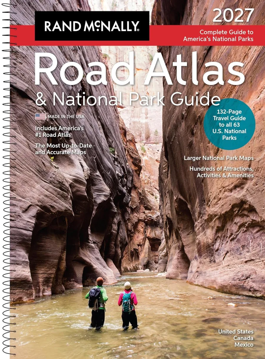
Rand McNally 2027 Road Atlas & National Park Guide
Paperback
• 280 Pages
• USD 34.99
• English
• 9780528029523
No ratings yet
| Publisher | Rand McNally |
|---|---|
| ISBN13 | 9780528029523 |
| ASIN/SKU | 0528029525 |
| Book Format | Paperback |
| Language | English |
| Pages | 280 |
| List Price | USD 34.99 |
| Publishing Date | 13/04/2026 |
| Dimensions | 11.11 x 0.64 x 15.29 inches |
| Weight | 2.6 pounds |
| Book Code | BD00054825 |
Buy this Book
Amazon Stores
Ebook Stores
Other Stores
Discover Rand McNally 2027 Road Atlas and National Park Guide by Rand McNally. This book is published by Rand McNally in Paperback format, ISBN 9780528029523, ASIN 0528029525, under Travel, Transportation, Reference.
Book Description
Rand McNally 2027 Road Atlas & National Park Guide
The only Road Atlas & National Park Guide updated annually!
This all-in-one travel planning guide, designed and printed in the USA, is the only atlas highlighting the extraordinary beauty of every one of America's 63 national parks while providing travelers with the trusted routing and points of interest tools they've relied on for generations. This new edition features a complete 2027 Rand McNally Road Atlas featuring the most up-to-date maps, more detailed city inset maps, and more travel planning information than the competitors, which is why it's been the essential, trusted tool for road travelers for more than 120 years.
Why Choose Rand McNally Over the Competition?
Complete National Park Coverage
Includes all 63 U.S. national parks in one authoritative atlas.
Unmatched Park Detail
132 pages dedicated exclusively to national parks.
More Pages per National Park
2-4 full-color pages per park for deeper exploration and trip planning.
QR Codes for Every National Park and State Maps
Provides regular updates for events, celebrations, and points of interest you won't want to miss on your journey.
National Parks by Decade
A unique 6-page feature tracing the history of America's national parks.
Vivid, Inspiring Photography
379 full-color photos that bring each park to life.
Bigger, More Comprehensive Atlas
280 total pages.
Expertly Crafted Maps
Created by our USA based, in-house cartographic team, not by 3rd parties used by our competition.
Made in the USA
Designed and printed in the United States.
Always Up-to-Date
Updated annually for accuracy and reliability.
More City Inset Maps
378 detailed city inset maps.
Easier on the Eyes
Clean white backgrounds and vibrant, user-friendly color palette.
Updated, Accurate Location Names
Reflects the latest naming standards from the U.S. Board on Geographic Names and the Department of the Interior.
Tough Spiral Binding and UV Coated Cover
Spiral binding allows pages to lay flat, and UV coating adds durability.
Product Details.
The only Road Atlas & National Park Guide updated annually!
This all-in-one travel planning guide, designed and printed in the USA, is the only atlas highlighting the extraordinary beauty of every one of America's 63 national parks while providing travelers with the trusted routing and points of interest tools they've relied on for generations. This new edition features a complete 2027 Rand McNally Road Atlas featuring the most up-to-date maps, more detailed city inset maps, and more travel planning information than the competitors, which is why it's been the essential, trusted tool for road travelers for more than 120 years.
Why Choose Rand McNally Over the Competition?
Complete National Park Coverage
Includes all 63 U.S. national parks in one authoritative atlas.
Unmatched Park Detail
132 pages dedicated exclusively to national parks.
More Pages per National Park
2-4 full-color pages per park for deeper exploration and trip planning.
QR Codes for Every National Park and State Maps
Provides regular updates for events, celebrations, and points of interest you won't want to miss on your journey.
National Parks by Decade
A unique 6-page feature tracing the history of America's national parks.
Vivid, Inspiring Photography
379 full-color photos that bring each park to life.
Bigger, More Comprehensive Atlas
280 total pages.
Expertly Crafted Maps
Created by our USA based, in-house cartographic team, not by 3rd parties used by our competition.
Made in the USA
Designed and printed in the United States.
Always Up-to-Date
Updated annually for accuracy and reliability.
More City Inset Maps
378 detailed city inset maps.
Easier on the Eyes
Clean white backgrounds and vibrant, user-friendly color palette.
Updated, Accurate Location Names
Reflects the latest naming standards from the U.S. Board on Geographic Names and the Department of the Interior.
Tough Spiral Binding and UV Coated Cover
Spiral binding allows pages to lay flat, and UV coating adds durability.
Product Details.
Author Biography
As America’s original mapmaker, Rand McNally has been guiding travelers since 1872.
For more than 150 years, our atlases, wall maps, folded maps, activity books, and other publications have inspired a love of exploration and enriched life’s journeys.
Today, our maps are still proudly crafted by our in-house cartographic team based in the Chicago area. Here's what sets Rand McNally maps apart:
• Made in the USA: The only Road Atlases solely created and printed in the United States.
• Updated Annually: Our Road Atlases are updated every year with the latest road and points of interest revisions.
• Larger Maps: The Large Scale Road Atlas features maps up to 170% larger than the competition.
• More City Insets: Includes more detailed city maps than any other brand, making urban navigation a breeze.
• Easy to Read: Designed for clarity with a clean white background and a vibrant, user-friendly color palette.
Whether you’re hitting the road or planning your next adventure, trust Rand McNally—the name that’s been helping America explore for generations.
For more than 150 years, our atlases, wall maps, folded maps, activity books, and other publications have inspired a love of exploration and enriched life’s journeys.
Today, our maps are still proudly crafted by our in-house cartographic team based in the Chicago area. Here's what sets Rand McNally maps apart:
• Made in the USA: The only Road Atlases solely created and printed in the United States.
• Updated Annually: Our Road Atlases are updated every year with the latest road and points of interest revisions.
• Larger Maps: The Large Scale Road Atlas features maps up to 170% larger than the competition.
• More City Insets: Includes more detailed city maps than any other brand, making urban navigation a breeze.
• Easy to Read: Designed for clarity with a clean white background and a vibrant, user-friendly color palette.
Whether you’re hitting the road or planning your next adventure, trust Rand McNally—the name that’s been helping America explore for generations.
Editorial Reviews
Editorial Reviews will be added soon…
Book Summary
Book Summary will be added soon…
Sample Chapters
Sample Chapters will be added soon…
Reader Reviews
No reviews yet.
Rand McNally 2027 Road Atlas & National Park Guide
Download Cover Image
Do you want to download the full cover image for Rand McNally 2027 Road Atlas & National Park Guide?